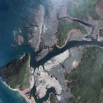
| Space Imaging’s IKONOS satellite took the following six images Jan. 18, 2005 – approximately three weeks after the devastating tsunami hit the west coast of the Aceh province, Sumatra. The images show tidal wave damage to agricultural fields, shorelines, bridges, roads and structures, altered tree lines and other vegetation stripped away by the tsunami’s swath. (link) |  |
